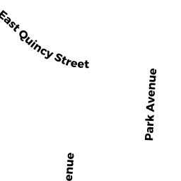
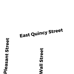
139 EAST QUINCY ST
Owner Information
MCGRATH MICHAEL LAWRENCE
139 EAST QUINCY ST
NORTH ADAMS, MA 01247


Property Details
139 EAST QUINCY ST is classified as a Single Family Residential (Old style).
The primary structure on this property was built in 1900. There are 1,260ft2 of built area within this property. There is 1,260ft2 of residential/living space within this property. This property is listed as having 7 rooms.
139 EAST QUINCY ST is valued at $105,800. The land is valued at $17,400 and the structures are valued at $88,400.
The most recent deed for 139 EAST QUINCY ST is recorded at the local registrar in Book 1618, Page 526. 139 EAST QUINCY ST was last sold on Thursday, March 16, 2017 for $56,500.
Assessment data from fiscal year 2022.
Flood Data
According to the FEMA National Flood Hazard Layer, this property does not appear to be in a flood zone. It may also be in an area not yet reviewed. Nonetheless, confirm this information prior to taking any action.
To view the flood hazards around this property, create a FEMA "Firmette" Map of the area around 139 EAST QUINCY ST.
Broadband Internet Providers
| Provider | Type | Bandwidth (mbps) | |
|---|---|---|---|
| Verizon New England Inc. | DSL | 15 | 1 |
| Viasat Inc | Satellite | 35 | 3 |
| Charter Communications Inc | Cable | 940 | 35 |
| GCI Communication Corp. | Satellite | 0 | 0 |
| HughesNet | Satellite | 25 | 3 |
| VSAT Systems, LLC. | Satellite | 2 | 1 |
Broadband service provider data from December 2020.
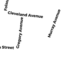
Adjacent Properties
- 384 EAST MAIN ST
Single Family Residential owned by PERRAS JENNIFER JAYNE - 0 EAST MAIN ST
Undevelopable Residential Land owned by MCGRATH MICHAEL LAWRENCE - 135 EAST QUINCY ST
Single Family Residential owned by PETERSON CINDY - 141 EAST QUINCY ST
Single Family Residential owned by DUPLISEA KEITH & CYNTHIA - 396 EAST MAIN ST
Single Family Residential owned by WALLEN ERIC